Inkpen Horse
General Information
National Grid Ref SU 349 621 It is however is incorrectly sited to SU 33 61 from a 1975 1:10 000 OS Map.
The horse was cut into the steep escarpment of Ham hill / Inkpen hill, overlooking the valley to the north. It was situated a short distance north west of a Tumulus and Inkpen Beacon. The site can easily be found, park at the Coome Gibbet car park and follow the By way past the gibbet past the pond and the water reservoir/tank past the footpath , continue on until you reach the next footpath on your right, the field on the right just next to the footpath is the site of the horse, it is private land so beware and the farmer is a bastard. He seems to be up there a lot shooting small animals so be careful. You can easily use the 1887 map (You can freely copy it as its out of copyright), the Gibbet is on the far right and can be seen from the car park which is off the map.
History.
This horse was probably cut in 1868 by Mr Wright who lived in Ham Spray House. It is believed that the turf was stripped down to the chalk and not properly blocked out and was subsequently lost. It was first noticed on a 1877 6 inch OS map by O.G.S. Crawford.

No sign of the figure can be seen at the site.
This is the only known picture of the horse

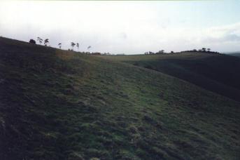
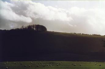
Photos
The site today