Hawkinge, Tangmere and St Ingervert Figures
National Grid Ref TR 210 395
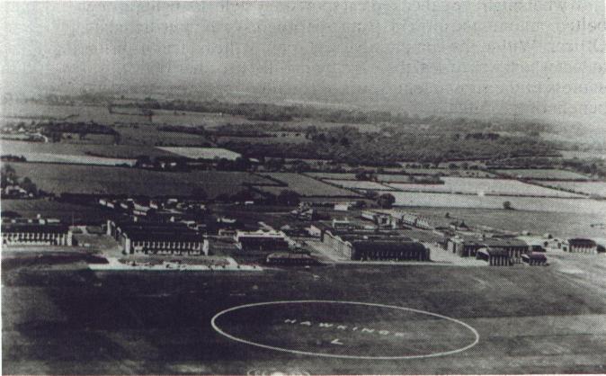
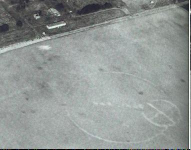
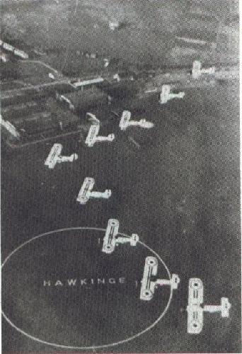
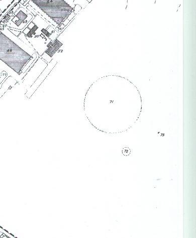
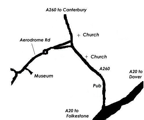
The arrows at Hawkinge and St Ingervert were constructed during WWI to air aircraft navigation (which was very basic in those days) across the Channel. One arrow was cut near Hawkinge and the other near St Ingervert nr Boulogne (France) to point pilots in the right direction. Two other figures also exsisted at Hawkinge, the Hawkinge identification / landing circle for the aerodrome and a target circle used for practice bomb runs. Later the arrow was used to aid targeting of the bombing target.


Maps
The figure have long since dissappeared, but the site is now a museum and can be visited, called the Battle of Britain Museum
Tangmere
National Grid Ref SU 905061
Another landing Circle also exsisted at Tangmere air base in Sussex.
